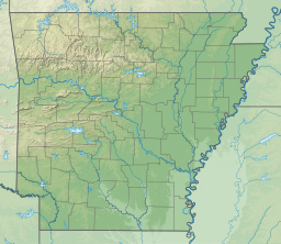
| Lake Whittington | |
|---|---|
| Location | Bolivar County, Mississippi Desha County, Arkansas United States |
| Coordinates | 33°39′44″N 91°04′13″W / 33.662353°N 91.070273°W |
| Type | Oxbow lake |
| Basin countries | United States |
| Max. length | 12 mi (19 km) |
| Surface area | 2,300 acres (930 ha) |
| Surface elevation | 118 ft (36 m) at normal pool |
Lake Whittington is an oxbow lake located in Bolivar County, Mississippi, and Desha County, Arkansas, United States.[1] The Arkansas-Mississippi border follows the center of the narrow, curving lake.
Prior to 1938, the north-south flowing Mississippi River curved east into Mississippi, flowed along Lake Whittington (then called "Bolivar Bend"), and then continued its north-south route.


