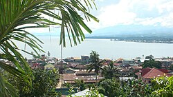
Lanao del Sur (Tagalog: Timog Lanao; Meranaw and Iranun: Pagabagatan Ranao), officially the Province of Lanao del Sur, is a province in the Philippines located in the Bangsamoro Autonomous Region in Muslim Mindanao (BARMM). The capital is the city of Marawi (the most populous in the province), and it borders Lanao del Norte to the north, Bukidnon to the east, and Maguindanao del Norte and Cotabato to the south. To the southwest lies Illana Bay, an arm of the Moro Gulf.
Situated in the interior of Lanao del Sur is Lanao Lake, the largest in Mindanao.
- ^ Autonomous Region in Muslim Mindanao, Department of Agriculture: Lanao del Sur Archived January 19, 2015, at the Wayback Machine (There are major discrepancies among authoritative sources: 4121.3 km² (NAMRIA); 1,349,437 ha (NSCB, this value seems unreasonable and must be assumed as erroneous, see Talk:Lanao del Sur#Area))
- ^ Census of Population (2020). Table B - Population and Annual Growth Rates by Province, City, and Municipality - By Region. Philippine Statistics Authority. Retrieved July 8, 2021.


