| Lanigan Creek | |
|---|---|
 The Red River drainage basin, with the Qu'Appelle River highlighted | |
| Location | |
| Country | Canada |
| Province | Saskatchewan |
| Physical characteristics | |
| Source | Near St. Gregor |
| Mouth | Last Mountain Lake |
• location | At Last Mountain Lake NWA |
• coordinates | 51°24′9″N 105°12′48″W / 51.40250°N 105.21333°W |
| Basin features | |
| River system | Red River drainage basin |
| [1][2] | |
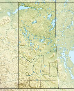
Lanigan Creek is a river[3] in the Canadian province of Saskatchewan. It is located in the south central part of the province in a region called the Prairie Pothole Region of North America, which extends throughout three Canadian provinces and five U.S. states. It is also within Palliser's Triangle and the Great Plains ecoregion.[4]
The river starts north-west of the Quill Lakes, near the village of St. Gregor and the intersections of Highway 5 and Highway 667. It travels in a south-south-westwardly direction past the town of Lanigan and into the northern end of Last Mountain Lake. The river is part of the Upper Qu'Appelle River watershed, as Last Mountain Creek[5] drains Last Mountain Lake into the Qu'Appelle River. The most northerly part of the Lanigan Creek Watershed also happens to be the most northerly point of the Red River Watershed.
At the southern end of Lanigan Creek, at the point it empties into Last Mountain Lake, there's Last Mountain Lake Bird Sanctuary, which was North America's first migratory bird sanctuary. The northern end of lake is a large, marshy flood plain. Last Mountain Lake National Wildlife Area encompasses all of the bird sanctuary, the northern portion of the lake, and the flood plain plus surrounding grasslands and hills. The area is listed as a Ramsar site.[6]
- ^ The Encyclopedia of Saskatchewan. "Qu'Appelle River". Archived from the original on 3 May 2012. Retrieved 2 August 2008.
- ^ "Canada Drainage Basins". The National Atlas of Canada, 5th edition. Natural Resources Canada. 1985. Retrieved 24 November 2010.
- ^ Government of Canada, Natural Resources Canada. "Place names - Lanigan Creek". www4.rncan.gc.ca.
- ^ "Drought in Palliser's Triangle | the Canadian Encyclopedia".
- ^ Government of Canada, Natural Resources Canada. "Place names - Last Mountain Creek". www4.rncan.gc.ca.
- ^ "Last Mountain Lake | Ramsar Sites Information Service". rsis.ramsar.org. Retrieved 17 September 2021.

