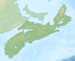
| Lennox Passage | |
|---|---|
Lennox Passage in Nova Scotia | |
| Location | Cape Breton Island, Nova Scotia |
| Coordinates | 45°34′54″N 61°05′12″W / 45.58167°N 61.08667°W |
| Type | Strait |
| Part of | Atlantic ocean |
| Max. length | 10 nautical miles (19 km) |
Lennox Passage is a navigable waterway between Cape Breton Island and Isle Madame in Nova Scotia, Canada.[1][2] Small craft use the relatively protected Passage (also correctly referred to as a strait) traveling to and from St. Peters Canal at the village of St. Peter's and the Strait of Canso to avoid sailing around the east coast of Cape Breton in the open Atlantic Ocean.
The Passage is approximately 10 nautical miles (19 km) in length from MacDonalds Shoal (near Janvrin Island) to Ouetique Island near D'Escousse with depths varying from 3 to 20 metres. The Passage is well-buoyed and marine interests should be aware that eastbound vessels leave the green buoys to starboard while making their way towards St. Peter's.

- ^ "Maritime Boating.com". Archived from the original on 2014-11-11. Retrieved 2014-11-11.
- ^ "Purchase charts for navigational use". 2019-07-11.
