| Lipalian Mountain | |
|---|---|
 | |
| Highest point | |
| Elevation | 2,682 m (8,799 ft)[1] |
| Prominence | 152 m (499 ft)[2] |
| Parent peak | Redoubt Mountain (2902 m)[2] |
| Listing | Mountains of Alberta |
| Coordinates | 51°25′37″N 116°05′50″W / 51.42694°N 116.09722°W[3] |
| Geography | |
| Location | Alberta, Canada |
| Parent range | Slate Range Canadian Rockies |
| Topo map | NTS 82N8 Lake Louise[3] |
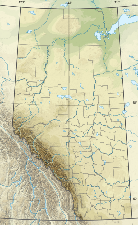
Lipalian Mountain is a 2,682-metre (8,799-foot) mountain summit located in Banff National Park, in the Slate Range of the Canadian Rockies of Alberta, Canada. It was named by William C. Gussow in 1958.[1][2]
The Larch Area of the Lake Louise Ski Resort is located on its lower west slope, while the majority of the resort's skiable terrain is located on the slopes of Whitehorn Mountain, immediately west of Lipalian Mountain. The resort's Temple Lodge (dining only) is located in the valley between the two mountains and is only open during the ski season and is accessible on skis/snowboard only (no public road).
Lipalian was a geological era proposed by American paleontologist Charles Walcott for a time where there is no record of fossils during a period of the Cambrian explosion. The theory was later refuted.
- ^ a b "Lipalian Mountain". cdnrockiesdatabases.ca. Retrieved 2019-09-07.
- ^ a b c "Lipalian Mountain". Bivouac.com. Retrieved 2019-09-07.
- ^ a b "Lipalian Mountain". Geographical Names Data Base. Natural Resources Canada. Retrieved 2019-09-07.

