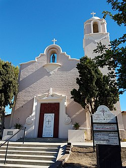
Logan Heights, San Diego | |
|---|---|
| Logan Heights | |
 | |
| Nickname(s): "Varrio Logan Heights", "L.H."[1] | |
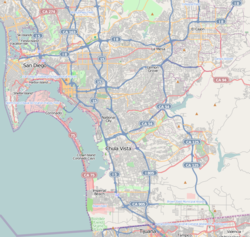
 Logan Heights is located in the central portion of the city of San Diego and part of the Southeastern Planning Area. | |
| Coordinates: 32°41′55″N 117°07′46″W / 32.6986°N 117.1294°W | |
| Country | |
| State | |
| County | |
| City | |
| ZIP Code | 92113 |

Logan Heights is an urban neighborhood in central San Diego, California. It is bordered by Interstate 5 on the south and west, Interstate 15 on the east, and Imperial Avenue on the north. It is part of the Southeastern Planning Area.[2]
- ^ Eways, Andrew; Morales, Gabriel. "Sureños and Cartels - The Story of Logan Heights". Sueno Gangs in the United States. Retrieved November 24, 2014.
- ^ "Community Profiles: Southeastern San Diego". City of San Diego. Retrieved 2020-11-22.
