| Lovers Leap State Park | |
|---|---|
 The Housatonic River as viewed from the leap | |
| Location | New Milford, Connecticut, United States |
| Coordinates | 41°32′25″N 73°24′18″W / 41.54028°N 73.40500°W[1] |
| Area | 160 acres (65 ha) |
| Elevation | 194 ft (59 m)[1] |
| Established | 1971 |
| Administered by | Connecticut Department of Energy and Environmental Protection |
| Designation | Connecticut state park |
| Named for | The Lovers Leap cliff overlooking the Housatonic River |
| Website | Official website |
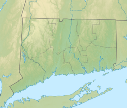
Lovers Leap State Park is a public recreation area on the Housatonic River in the town of New Milford, Litchfield County, Connecticut. The state park's 160 acres (65 ha) straddle the Housatonic Gorge near the intersection of Connecticut Route 67 and Connecticut Route 202. The park offers hiking to scenic and historic locations and is managed by the Connecticut Department of Energy and Environmental Protection.[2]
- ^ a b "Lovers Leap". Geographic Names Information System. United States Geological Survey, United States Department of the Interior.
- ^ Cite error: The named reference
DEEPwas invoked but never defined (see the help page).

