| Lower Tauern | |
|---|---|
 Hochgolling | |
| Highest point | |
| Peak | Hochgolling |
| Elevation | 2,863 m (9,393 ft) |
| Coordinates | 47°16′0″N 13°45′42″E / 47.26667°N 13.76167°E |
| Naming | |
| Native name | Niedere Tauern (German) |
| Geography | |
| Country | Austria |
| States | |
| Range coordinates | 47°18′N 14°0′E / 47.300°N 14.000°E |
| Parent range | Central Eastern Alps |
| Borders on |
|
| Geology | |
| Orogeny | Alpine orogeny |
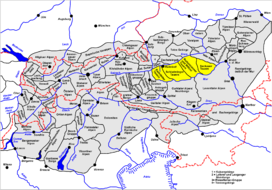
The Lower Tauern[1][2][3] or Niedere Tauern are a mountain range of the Central Eastern Alps, in the Austrian states of Salzburg and Styria.
For the etymology of the name, see Tauern.
- ^ Bourne, Grant and Körner-Bourne, Sabine (2007). Walking in the Bavarian Alps, 2nd ed., Cicerone, Milnthorpe, p. 303. ISBN 978-1-85284-497-4.
- ^ Jeep, John M. Medieval Germany: An Encyclopedia, New York and London: Garland, 2001, p. 716.
- ^ The New Encyclopædia Britannica, Vol. 1, 2003, p. 86.
