| Arthur R. Marshall Loxahatchee National Wildlife Refuge | |
|---|---|
IUCN category IV (habitat/species management area) | |
 Observation Platform overlooking the C-7 compartment on the Marsh Trail | |
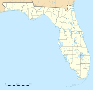
Map of Florida | |
| Location | Palm Beach County, Florida, United States |
| Nearest city | Boynton Beach, Florida |
| Coordinates | 26°30′30″N 80°20′00″W / 26.50833°N 80.33333°W |
| Area | 145,188 acres (587.55 km2) |
| Established | 1951 |
| Governing body | U.S. Fish and Wildlife Service |
| Website | Arthur R. Marshall Loxahatchee National Wildlife Refuge |

The Arthur R. Marshall Loxahatchee National Wildlife Refuge is a 145,188-acre (587.55 km2) wildlife sanctuary[1] is located west of Boynton Beach, in Palm Beach County, Florida.[2] It is also known as Water Conservation Area 1 (WCA-1). It includes the most northern remnant of the historic Everglades wetland ecosystem.[1][3]
Bordering the Everglades Agricultural Area (EAA) to the west and the urban communities of Palm Beach County to the east, the conservation area contains nearly 145,000 acres of Everglades wetland habitat. Owned by the state, WCA-1 is currently managed by the U.S. Fish and Wildlife Service and provides an area specified for recreation, wildlife population maintenance and habitat management and restoration.[4]
- ^ a b "About the Refuge - Arthur R. Marshall Loxahatchee - U.S. Fish and Wildlife Service". www.fws.gov. Retrieved 2018-04-19.
- ^ Walker, T. "Loxahatchee National Wildlife Refuge, a Florida natlwild located near Boca Raton, Boynton Beach and Deerfield Beach". www.stateparks.com. Retrieved 2018-04-19.
- ^ "Water Conservation Area 1". Duke University Wetland Center.
- ^ "Water Conservation Area 1" (PDF). Florida Department of Environmental Protection.
