| MacLennan River | |
|---|---|
 Churchill River drainage basin | |
| Location | |
| Country | Canada |
| Province | Saskatchewan |
| Physical characteristics | |
| Source | MacLennan Lake |
| • location | Northern Saskatchewan Administration District |
| • coordinates | 54°26′33″N 106°18′44″W / 54.4425°N 106.3122°W |
| Mouth | Montreal Lake |
• location | Northern Saskatchewan Administration District |
• coordinates | 54°12′37″N 105°51′12″W / 54.2103°N 105.8534°W |
• elevation | 490 m (1,610 ft) |
| Basin features | |
| Progression | |
| River system | Churchill River |
| Tributaries | |
| • right | Crean River |
| Waterbodies |
|
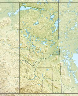
MacLennan River[1] is a river in the Canadian province of Saskatchewan. It begins at MacLennan Lake in the Thunder Hills[2] of the Northern Saskatchewan Administration District. It then flows generally south-east out of the hills, through a section of Prince Albert National Park, and on to Montreal Lake.[3] MacLennan River is within the Churchill River drainage basin[4] and is in the Mid-Boreal Upland ecozone of Canada.[5]
- ^ "MacLennan River". Canadian Geographical Names Database. Government of Canada. Retrieved 20 October 2023.
- ^ "Thunder Hills". Canadian Geographical Names Database. Government of Canada. Retrieved 20 October 2023.
- ^ "Montreal Lake, Saskatchewan Map:". Geodata.us. Retrieved 20 October 2023.
- ^ "Churchill River Watershed". Water Security Agency. Retrieved 20 October 2023.
- ^ "Ecoregions of Saskatchewan". usask. University of Saskatchewan. 30 May 2008. Retrieved 20 October 2023.

