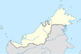
| Maludam National Park Taman Negara Maludam | |
|---|---|
| Location | Sarawak, Malaysia |
| Coordinates | 1°32′56″N 111°05′31″E / 1.549°N 111.092°E[1] |
| Area | 432 km2 (167 sq mi) |
| Established | 2000 |
| Governing body | Sarawak Forestry |
Maludam National Park (Malay: Taman Negara Maludam) is a national park in Betong Division, Sarawak, Malaysia on the island of Borneo. It is located in the Maludam Peninsula and consists entirely of low-lying, flat peat swamp forest. Such forests cover about 10% of the total land area of Sarawak, but have mostly been exploited for timber and plantation agriculture. The Maludam National Park encompasses the largest single patch of peat swamp forest remaining in Sarawak and Brunei.
The park covers an area of 432 square kilometres (167 sq mi) and was founded in 2000. It is the second largest park in Sarawak, and there are proposals to extend its area yet further. The Park currently has no facilities and is not open to visitors.
- ^ Maludam National Park protectedplanet.net
