| Manganuiohou River | |
|---|---|
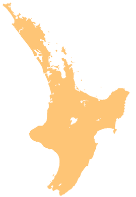
 Route of the Manganuiohou River | |
| Location | |
| Country | New Zealand |
| Physical characteristics | |
| Source | Huiarau Range |
| • coordinates | 38°45′42″S 177°10′38″E / 38.7617°S 177.1773°E |
| Mouth | |
• location | Waiau River |
• coordinates | 38°54′10″S 177°26′20″E / 38.90276°S 177.43895°E |
| Length | 19 km (12 mi) |
| Basin features | |
| Progression | Manganuiohou River → Waiau River → Wairoa River → Hawke Bay → Pacific Ocean |
| Tributaries | |
| • left | Te Mahanga Stream, Motumota Stream |
| Waterfalls | Te Rerehautai Falls |
The Manganuiohou River is a river of the northeast of New Zealand's North Island. It flows southwards from its source in Te Urewera National Park immediately to the northwest of Lake Waikaremoana, and joins with the Waiau River at the park's southwestern boundary.[1]
- ^ "Place name detail: Manganuiohou River". New Zealand Gazetteer. New Zealand Geographic Board. Retrieved 21 April 2010.

