Mapusaga | |
|---|---|
Village | |
| Coordinates: 14°19′48″S 170°44′38″W / 14.33000°S 170.74389°W | |
| Country | |
| Territory | |
| County | Tuālāuta |
| LDS village foundation | May 10, 1903 |
| Area | |
| • Total | 0.80 sq mi (2.1 km2) |
| Population (2020) | |
| • Total | 1,772 |
| • Density | 1,412.6/sq mi (545.4/km2) |
| Time zone | UTC−11 (Samoa Time Zone) |
| ZIP code | 96799 |
| Area code | +1 684 |
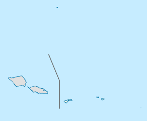
Mapusaga is a small village located 9 miles (14 km) west of Pago Pago on Tutuila island in the American territory of American Samoa. Its coordinates are 14.33° south and 170.74389 ° west, with an elevation of 180 feet (55 m). The village is home to American Samoa Community College.[1] An area in the village is called Mapusagafou, which translates to New Mapusaga. Another area in town is known as Mapusagatuai, meaning Old Mapusaga.
The village of Mapusaga was almost entirely displaced during World War II in favor of military installations.[2] It was the location of the U.S. Navy operated Mobile Base Hospital. Mapusaga has been called "Mormon Valley", as the Church of Jesus Christ of Latter-day Saints previously was based here.[3] The Mormons constructed Mapusaga High School in 1928, which was located at the current location of American Samoa Community College (ASCC).[4]
Olotele Mountain is divided between the villages of Mapusagafou (bottom half) and Aoloau (top half). Tucked in the densely rainforested Mapusagafou Mountain is Le Fale’o Cultural Center where there is an authentic village set up with traditional arts, cooking, and customs.[5]
- ^ Swaney, Deanna (1994). Samoa: Western & American Samoa: a Lonely Planet Travel Survival Kit. Lonely Planet Publications. Page 179. ISBN 9780864422255.
- ^ Kennedy, Joseph (2009). The Tropical Frontier: America’s South Sea Colony. University of Hawaii Press. Page 213. ISBN 9780980033151.
- ^ Ruck, Rob (2018). Tropic of Football: The Long and Perilous Journey of Samoans to the NFL. The New Press. ISBN 9781620973387.
- ^ Cite error: The named reference
CN2009was invoked but never defined (see the help page). - ^ Clayville, Melinda (2021). Explore American Samoa: The Complete Guide to Tutuila, Aunu'u, and Manu'a Islands. Page 67. ISBN 9798556052970.
