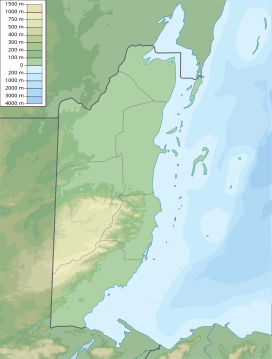
| Maya Mountains | |
|---|---|
| Montañas mayas | |
 Maya Mountains during clear conditions / 2012 photograph by E. xxx / via Flickr | |
| Highest point | |
| Peak | Doyle's Delight |
| Elevation | 3,688 ft (1,124 m)1 |
| Coordinates | 16°40′04″N 88°49′59″W / 16.667652361130873°N 88.8331618650507°W |
| Dimensions | |
| Length | 70 mi (110 km) northeast1 |
| Width | 40 mi (64 km) southeast |
| Area | 1,970 sq mi (5,100 km2)2 |
| Geography | |
| Countries | |
| Districts | Cayo, Stann Creek, Toledo, Peten |
| Range coordinates | 16°53′58″N 88°40′18″W / 16.899443741204585°N 88.67161109755861°W |
| Geology | |
| Rock age | Palaeozoic–Cenozoic3 |
| Rock types |
|
| Volcanic arc/belt | Bladen Formation3 |
| Last eruption | c. 410 Ma3 |
| 1 Per EB 2017, para. 1 / 2 Per Briggs et al. 2013, para. 2 / 3 Per Martens 2009, cap. 4 | |
The Maya Mountains are a mountain range located in Belize and eastern Guatemala, in Central America.[note 1]
Cite error: There are <ref group=note> tags on this page, but the references will not show without a {{reflist|group=note}} template (see the help page).
