| McIlwraith | |
|---|---|
 The range is an important area for southern cassowaries | |
| Highest point | |
| Peak | unnamed peak, northeast of Coen |
| Elevation | 824 m (2,703 ft)[1] AHD |
| Coordinates | 13°54′26″S 143°18′40″E / 13.90722°S 143.31111°E |
| Dimensions | |
| Area | 3,000 km2 (1,200 sq mi) |
| Geography | |
| Country | Australia |
| State | Queensland |
| Range coordinates | 13°45′S 143°20′E / 13.750°S 143.333°E |
| Parent range | Great Dividing Range |
| Geology | |
| Formed by | Volcanic plug |
| Age of rock | Cretaceous and Permian |
| Type of rock | Granite plateau |
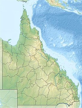
The McIlwraith Range is a rugged, dissected granite plateau on Cape York Peninsula of Far North Queensland, Australia. Part of the Great Dividing Range, the McIlwraith Range covers about 3,000 square kilometres (1,200 sq mi) and lies about 15 kilometres (9.3 mi) east of the town of Coen, and 550 kilometres (340 mi) north of Cairns. The Archer and Stewart Rivers rise in the range, with the Archer draining the range's western slopes into the Gulf of Carpentaria and the Stewart draining east into the Coral Sea. The range receives an annual rainfall of about 1,500 millimetres (59 in).
