| McPherson | |
|---|---|
 Running Creek, 2016 | |
| Highest point | |
| Peak | Mount Barney |
| Elevation | 1,359 m (4,459 ft) |
| Coordinates | 28°17′S 152°42′E / 28.283°S 152.700°E |
| Geography | |
| Country | Australia |
| State(s) | Queensland, New South Wales |
| Region(s) | South East Queensland, Northern Rivers |
| Rivers | Condamine River |
| Range coordinates | 28°20′S 153°00′E / 28.333°S 153.000°E |
| Parent range | Great Dividing Range |
| Borders on | Teviot Range, Tweed Range, Border Ranges, Main Range |
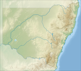
The McPherson Range is an extensive mountain range, a spur of the Great Dividing Range, heading in an easterly direction from near Wallangarra to the Pacific Ocean coastline. It forms part of the Scenic Rim on the border between the states of New South Wales and Queensland. Further west of the McPherson Range is the Main Range. Towards the coast the range continues into the Border Ranges and other mountainous terrain formed by the Tweed Volcano.
The Australian electoral Division of McPherson was named after the mountain range.
