Iles d'Haussez | |
|---|---|
 View of the Mercury Islands | |
 Topographic map of the Mercury Islands | |
| Geography | |
| Coordinates | 36°35′S 175°55′E / 36.583°S 175.917°E |
| Adjacent to | South Pacific Ocean |
| Total islands | 16 |
| Major islands | Great Mercury Island (Ahuahu), Red Mercury Island (Whakau), Double Island (Moturehu), Kawhitu or Stanley Island, Ātiu or Middle Island, Korapuki Island |
| Administration | |
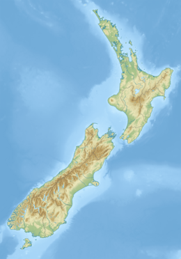
The Mercury Islands are a group of seven islands off the northeast coast of New Zealand's North Island. They are located 8 kilometres (5 mi) off the coast of the Coromandel Peninsula, and 35 kilometres (22 mi) northeast of the town of Whitianga.
