| Mount Adatara | |
|---|---|
 Viewed from the SE. | |
| Highest point | |
| Elevation | 1,728 m (5,669 ft)[1] |
| Listing | Volcanoes in Japan |
| Coordinates | 37°38′39″N 140°17′10″E / 37.64417°N 140.28611°E |
| Naming | |
| Native name | 安達太良山 (Japanese) |
| Geography | |
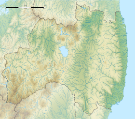
Fukushima Prefecture, Honshu, Japan | |
| Parent range | Ōu Mountains |
| Geology | |
| Mountain type | Stratovolcano |
| Last eruption | AD 1900[2] |
Mount Adatara (安達太良山, Adatara-yama) is a stratovolcano in Fukushima Prefecture, Japan.
It is located about 15 kilometres southwest of the city of Fukushima and east of Mount Bandai. Its last known eruption was in 1996.[1] An eruption in 1900 killed 72 workers at a sulfur mine located in the summit crater.[1]
- ^ a b c "Adatara". Global Volcanism Program. Smithsonian Institution. Retrieved 2014-12-30.
- ^ Adatara Yama - Geological Survey of Japan
