| Mount Data | |
|---|---|
 | |
| Highest point | |
| Elevation | 2,310 m (7,580 ft)[1] |
| Prominence | 18 m (59 ft) |
| Coordinates | 16°53′0″N 120°50′48″E / 16.88333°N 120.84667°E |
| Geography | |
| Country | Philippines |
| Region | Cordillera Administrative Region |
| Province | |
| Parent range | Cordillera Central |
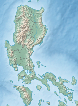
Mount Data is a mountain located in the Cordillera Central mountain range rising to a height of 2,310 metres (7,580 ft) in the north of Luzon Island, Philippines.[2] It is about 100 kilometres (62 mi) north of Baguio on the borders of the provinces of Benguet and Mountain Province along the Halsema Highway.[3][4] The mountain and surrounding area has been declared a national park since 1936. In 1940 the park was expanded to 5,513 hectares (13,620 acres).[5][1] The slopes of the mountain are covered with pine forests and mossy oak forests.[4]
The national park hosts five major rivers: the Chico, Ahin, Siffu, Abra, and Amburayan rivers. The Agno River also originates from Mount Data and flows through Benguet.[6] The reserve is also a watershed, which serves towns in Mountain Province, Buenget, and Ifugao.[7]
The mountain is the site of the Mount Data Peace Accord of 1986 between the government of the Philippines and the Cordillera People's Liberation Army.[8]
- ^ a b Cairns, Malcolm, ed. (2017). Shifting Cultivation Policies: Balancing Environmental and Social Sustainability. Oxfordshire: CABI. p. 720. ISBN 978-1-78639-179-7.
- ^ "Mount Data". Protected Planet. Archived from the original on April 22, 2018. Retrieved April 22, 2018.
- ^ Grele, Dominique; Jouve, Lily Yousry (2003). 100 Resorts in the Philippines: Places with a Heart (2nd ed.). Mandaluyong City: Encyclea. p. 77. ISBN 971-91719-7-9.
- ^ a b "Mt. Province Travel Information". Asia Travel. Archived from the original on May 7, 2001. Retrieved February 22, 2019.
- ^ Perera, Jayantha, ed. (2009). Land and Cultural Survival: The Communal Rights of Indigenous Peoples in Asia. Mandaluyong City: Asian Development Bank. p. 71. ISBN 978-971-561-801-4.
- ^ "Cordilleras Lose 500 Hectares of Forest Cover Yearly–Alvarez". Business Mirror. July 6, 2015. Archived from the original on January 23, 2022. Retrieved August 2, 2020.
- ^ Quitasol, Kimberlie (June 13, 2016). "DENR Rejects Mt. Data Downgrade from Protected Park". Inquirer.net. Archived from the original on December 2, 2020. Retrieved August 2, 2020.
- ^ De Mesa, Karl R. (September 20, 2011). "Cordillera Celebrates 25th Anniversary of Peace Accord". GMA News Online. Archived from the original on January 23, 2022. Retrieved August 2, 2020.

