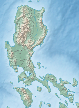
| Mount Pico de Loro | |
|---|---|
 | |
| Highest point | |
| Elevation | 2,257 ft (688 m)[1] |
| Prominence | 1,640 ft (500 m) |
| Coordinates | 14°12′51″N 120°38′47″E / 14.21427°N 120.64645°E[1] |
| Geography | |
| Location | Mounts Palay-Palay–Mataas-na-Gulod Protected Landscape, Luzon |
| Country | Philippines |
| Region | Calabarzon |
| Provinces | |
| Municipalities | |
| Geology | |
| Mountain type | Stratovolcano |
| Volcanic arc/belt | Bataan Arc |
| Last eruption | Unknown |
Mount Pico de Loro, also known as Mount Palay-Palay, is a dormant volcano located on the border of Cavite and Batangas, in the island of Luzon, Philippines. It is the highest mountain in the province of Cavite, with an elevation of 2,257 ft (688 m) above sea level and the highest peak of the Mounts Palay-Palay–Mataas-na-Gulod Protected Landscape.[1] The mountain is one of the ancient volcanic features of Bataan Arc.[2]
- ^ a b c Malicdem, Ervin (22 December 2014). "Palay-Palay-Mataas na Gulod Mountain Range: Trail Data, Peaks and Elevation". Schadow1 Expeditions: 5. doi:10.13140/RG.2.2.27573.99040. Retrieved 5 November 2017.
- ^ Tectonophysics. Amsterdam: Elsevier Science Publishers. 1990. p. 266.

