| Mount Sicker | |
|---|---|
| Highest point | |
| Elevation | 716 m (2,349 ft) |
| Listing | Mountains of British Columbia |
| Coordinates | 48°51′37″N 123°45′25″W / 48.86028°N 123.75694°W[1] |
| Geography | |
| Location | British Columbia, Canada |
| District | Somenos Land District |
| Topo map | NTS 92B13 Duncan[1] |
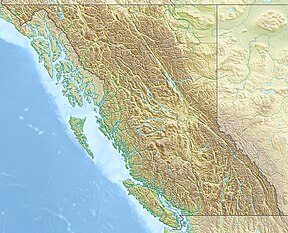
Mount Sicker is in southern Vancouver Island, British Columbia. The twin summits of Big Sicker Mountain,[2] at 716 metres (2,349 ft), and Little Sicker Mountain,[3] at 660 metres (2,170 ft), are near Crofton, Chemainus and Duncan.[1]
The name honours John J. Sicker, a homesteader in the area.[4]: 243
- ^ a b c "Mount Sicker". BC Geographical Names. Retrieved 2021-02-07.
- ^ "Big Sicker Mountain (mountain)". BC Geographical Names.
- ^ "Little Sicker Mountain". BC Geographical Names. Retrieved 2021-06-25.
- ^ Akrigg, G.P.V.; Akrigg, Helen B. (1986), British Columbia Place Names (3rd, 1997 ed.), Vancouver: UBC Press, ISBN 0-7748-0636-2
