| Mount Tangkoko | |
|---|---|
 Mount Tangkoko as viewed from the sea | |
| Highest point | |
| Elevation | 1,113 m (3,652 ft)[1] |
| Coordinates | 1°31′05″N 125°11′06″E / 01.518°N 125.185°E[2] |
| Dimensions | |
| Width | 3 km × 1.5 km (1.86 mi × 0.93 mi)[3] |
| Geography | |
| Country | |
| Region | Sulawesi |
| Province | North Sulawesi |
| Regency | Minahasa |
| Geology | |
| Mountain type | stratovolcano with lava dome[3] |
| Rock types | [3] |
| Last eruption | 1880[2] |

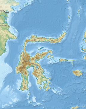
Mount Tangkoko[4] is a stratovolcano in the north of Sulawesi island in Indonesia. Its summit has an elongated deep crater.On the east flank is a flat lava dome, Batu Angus. Historical records only show eruptions in the 19th century.[2]
The Tangkoko Batuangus Nature Reserve, in the northern part of Sulawesi island, is named after the volcano and home to such species as the Celebes crested macaque and spectral tarsier.
- ^ "Tangkoko-Duasudara - synonyms & subfeatures". Global Volcanism Program. Smithsonian Institution. Retrieved 29 April 2023.
- ^ a b c "Tangkoko-Duasudara". Global Volcanism Program. Smithsonian Institution. Retrieved 29 April 2023.
- ^ a b c "Tangkoko-Duasudara - general information". Global Volcanism Program. Smithsonian Institution. Retrieved 29 April 2023.
- ^ "Aset Sejarah Alam Dunia dan Rumah Satwa Sulawesi" [World natural history assets and Sulawesi animal house]. Nasional.Kompas.com (in Indonesian). Kompas. 30 April 2008. Retrieved 29 April 2023.
