This article needs additional citations for verification. (March 2009) |
| Yamantaw | |
|---|---|
 | |
| Highest point | |
| Elevation | 1,640 m (5,380 ft)[1] |
| Listing | Mountains of Russia |
| Coordinates | 54°15′18″N 58°06′13″E / 54.255°N 58.10365°E[1] |
| Geography | |
| Country | Russia |
| Republic | Bashkortostan |
| District | Beloretsky |
| Protected area | South Ural Nature Reserve |
| Parent range | Ural Mountains |
| Yamantau | |
|---|---|
| Part of Armed Forces of the Russian Federation | |
| Mezhgorye, Republic of Bashkortostan, Russia | |
| Coordinates | 54°15′18″N 58°06′07″E / 54.255°N 58.102°E |
| Type | Underground military facility |
| Site information | |
| Controlled by | Armed forces of the Russian Federation |
| Condition | Unknown |
| Site history | |
| Built | Under construction (2003) |
| In use | Unknown |
| Garrison information | |
| Garrison | Mezhgorye |
| Occupants | Unknown |
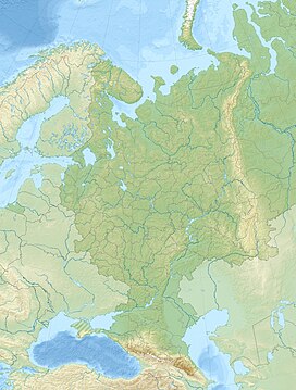
Mount Yamantau, or Yamantaw (Bashkir: Ямантау, romanized: Yamantaw, Russian: гора Ямантау) is a mountain in the Ural Mountains, located in Beloretsky District, Bashkortostan, Russia. Standing at 1,640 metres (5,380 ft), it is the highest mountain in the Southern Ural section, and lies is within the South Ural Nature Reserve.
An extensive secret bunker complex has allegedly been built under Mt. Yamantaw, per United States claims, by the Russian government or Russian Armed Forces, similar to the Cheyenne Mountain Complex in the U.S. state of Colorado.
- ^ a b "Topographic map of Mount Yamantau". opentopomap.org. Retrieved 2023-04-02.

