Mozley Park Historic District | |
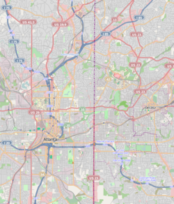
| Location | Roughly bounded by Westview Dr., West Lake Ave., Seaboard Coast Line RR tracks and M. L. King and Rockmart Dr., Atlanta, Georgia |
|---|---|
| Coordinates | 33°45′03″N 84°25′35″W / 33.750827°N 84.426455°W |
| Area | 300 acres (120 ha) |
| Architectural style | Late Victorian, Late 19th And Early 20th Century American Movements |
| NRHP reference No. | 95000909[1] |
| Added to NRHP | August 11, 1995 |
Mozley Park is a typical early 20th-century residential neighborhood, located approximately three miles west of downtown Atlanta. The community is named after the original landowner, Dr. Hiram Mozley, whose heirs inherited the land after his death in 1902.[2]


