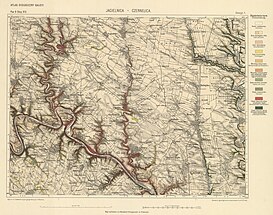
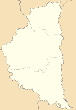
Mukhavka

Mukhavka
Мухавка
Flag of Mukhavka
Coat of arms of Mukhavka
Mukhavka is located in Ternopil Oblast
Mukhavka
Mukhavka
Location in Ternopil Oblast
Coordinates: 48°54′7″N 25°43′31″E / 48.90194°N 25.72528°E / 48.90194; 25.72528
Country Ukraine
Region Ternopil Oblast
Area Chortkiv Raion
CommunityNahirianka Hromada
First mentioned1469
Time zoneUTC+2 (EET)
 • Summer (DST)UTC+3 (EEST)
Postal code
48544

Mukhavka (Ukrainian: Мухавка, Polish:  Muchhawka, German: Mukhavka) is a village iin Nahirianka rural hromada.,[1] Chortkiv Raion, Ternopil Oblast, Ukraine. The administrative center of the former Mukhav village council. According to the Polish and Austrian documents "List of populated places of the Ternopil District in 1867", the villages of Zhabyntsi, Pulyak and Stavky belonged to the village of Muhavka.
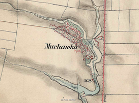
Mukhavka on the topographic map of Galicia and Bukovina in 1861–1864
Mukhava on the topographic map of the Kingdom of Galicia and Volhynia in 1869-1887
Mukhavka on the topographic map of the Kingdom of Galicia and Lodomeria in 1884
Mukhavka on the topographic map of the Kingdom of Galicia and Lodomeria in 1902
Mukhavka on the topographic map of the Polish Republic in 1923
Mukhavka on the map of the General Staff of the USSR, 1948. Square m-35-112

The village of Mukhavka is known from written sources since 1448.