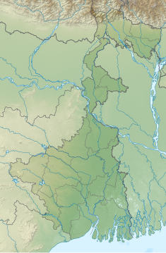
| Mukutmanipur Dam | |
|---|---|
 Mukutmanipur Dam | |
| Location | Bankura District, West Bengal, India |
| Coordinates | 22°57′50″N 86°47′20″E / 22.963949°N 86.788800°E |
| Dam and spillways | |
| Impounds | Kangsabati River |
| Length | 11,270 metres (36,980 ft) |
| Width (base) | 38 metres (125 ft) |
| Website mukutmanipur | |
The Mukutmanipur Dam is a dam in Khatra subdivision of Bankura district in the state of West Bengal, India.
The Kangsabati River, also known as the Kasai and Kumari, originates from the Chota Nagpur Plateau in West Bengal. It flows through the districts of Purulia, Bankura, and Paschim Medinipur before draining into the Bay of Bengal. The Mukutmanipur Dam, built along this river, is the second longest earthen dam in India, measuring 11.27 km, surpassed only by the Sri Ram Sagar Project (SRSP) in Telangana. The dam has a gross storage capacity of 1.04 cubic kilometers (36.73 tmcft) and is the only dam in West Bengal designated as 'Dam of National Importance' by the Central Water Commission of the Government of India.[1][2]The dam is essential for irrigation, supporting a total cultivable area of 340,752 hectares during the Kharif season and 60,704 hectares during the Rabi season. Mukutmanipur serves as a significant tourism hub in West Bengal, attracting visitors with its scenic landscapes, recreational activities on the reservoir, and natural beauty.[3]
The road over the dam is 11 kilometres (6.8 mi) long. At the midpoint is a small hill, Pareshnath Hill, where several Jain and Hindu deity statues are displayed in the open air. These artifacts were uncovered during the excavation for the dam. Another Jain statue lies at the base of Pareshnath Hill.[4]

- ^ "Mukutmanipur | Bankura District, Government of West Bengal | India". Retrieved 2024-05-31.
- ^ "Irrigation & Waterways Department". wbiwd.gov.in. Retrieved 2024-05-31.
- ^ "Mukutmanipur Tourism". Mukutmanipur Tourism. Retrieved 2024-10-27.
- ^ "Mukutmanipur Dam latest update". Retrieved 18 August 2023.
