Nouadhibou
نواذيبو (Arabic) | |
|---|---|
Commune and town | |
From the top to bottom-right, Welcome to Nouadhibou, Ship Graveyard, Central Nouadhibou, Iron-Ore transporter Train arriving in Nouadhibou, Residential area | |
| Coordinates: 20°56′N 17°2′W / 20.933°N 17.033°W | |
| Country | |
| Region | Dakhlet Nouadhibou Region |
| Founded | 1906 |
| Government | |
| • Mayor | Elghassem Ould Bellali |
| Area | |
• Total | 67.50 km2 (26.06 sq mi) |
| Elevation | 0 m (0 ft) |
| Population (2023 census) | |
• Total | 173,525 |
| • Density | 2,600/km2 (6,700/sq mi) |

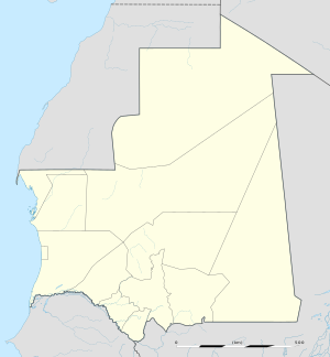
Nouadhibou (/ˈnwædiːbuː, ˈnwɑː-/; Arabic: نواذيبو, Hassaniyya: [nwaðiːbu] ;formerly in French: Port-Étienne) is the second largest city in Mauritania and serves as a major commercial center. The city has about 173,000 inhabitants.[1] It is situated on a 65-kilometre peninsula or headland called Ras Nouadhibou, Cap Blanc, or Cabo Blanco, of which the western side has the city of La Güera. Nouadhibou is consequently located merely a couple of kilometers from the border between Mauritania and Western Sahara. Its current mayor is Elghassem Ould Bellali, who was installed on 15 October 2018.[2][3]
Nouadhibou is a major hotspot for migrant smuggling, serving as a key departure point for those attempting to reach Europe.[4]
- ^ "Nouadhibou (Industrial and Commercial Urban Commune, Mauritania) - Population Statistics, Charts, Map and Location". www.citypopulation.de. Retrieved 2024-02-15.
- ^ Installation du maire de la commune de Nouadhibou, Agence Mauritanienne d'Information, 15 October 2018
- ^ "MyCeni - Résultats 2023". res-myceni.org. Retrieved 2023-12-05.
- ^ Cite error: The named reference
:0was invoked but never defined (see the help page).


