Obalende | |
|---|---|
Neighborhood | |
 Road sign for Ikoyi Road and Obalende Road | |
| Coordinates: 6°26′41″N 3°25′3″E / 6.44472°N 3.41750°E | |
| Country | |
| State | Lagos State |
| City | Lagos |
| LGA | Eti-Osa |
| Time zone | UTC+1 (WAT) |
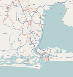
Obálendé, a contraction of the Yoruba saying Ibi ti Oba le wa de, meaning "Where the king chased us to",[1] is a neighbourhood of Lagos, Nigeria, located in Eti-Osa LGA, close to Lagos Island. Eti-Osa was split by the Lagos State Government into Local Community Development Areas (LCDA) of which Ikoyi–Obalende is one.[2][3] It contains many schools, including Holy Child College Obalende, St Gregory's College, Aunty Ayo International School and Girls Secondary Grammar School. It is bordered by the police barracks and Army barracks. Obalende is extremely crowded and congested. Obalende is famous for its night life, its red-light district and for its suya with a junction popularly called Suya junction.
- ^ Dike, Kingsley (May 31, 1997). "A people pursued". The Guardian (Nigeria).
- ^ "Obalende" (Map). Google Maps. Retrieved 27 November 2020.
- ^ "Obalende" (Map). Bing. Microsoft and Harris Corporation Earthstar Geographics LLC. Retrieved 27 November 2020.
