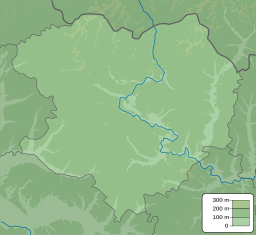
| Oskol Reservoir | |
|---|---|
 The village of Yatskivka on the reservoir in 2019 | |
| Location | Kharkiv Oblast |
| Coordinates | 49°17′34″N 37°34′16″E / 49.29278°N 37.57111°E |
| Type | reservoir |
| Primary inflows | Oskil River |
| Primary outflows | Oskil River |
| Basin countries | Ukraine |
| Max. length | 125 km (78 mi) (before destruction) |
| Max. width | 4 km (2.5 mi) (before destruction) |
| Surface area | 130 km2 (50 sq mi) (before destruction) |
| Average depth | 4 m (13 ft) (before destruction) |
| Water volume | 474 hm3 (384,000 acre⋅ft) (before destruction) |
 | |
The Oskil Reservoir (Ukrainian: Оскільське водосховище; Russian: Оскольское водохранилище, sometimes translated as Oskol, Oskilske -) was an artificial lake on the Oskil River in Kharkiv Oblast, Ukraine. It was formerly known as the Chervony-Oskil Reservoir.
The reservoir was opened in 1958. Before it was drained, the reservoir's area was 130 km², with a maximal length of 125 km, a maximal width of 4 km, an average depth of 4 m and a volume of approximately 474 hm³. The purpose of the reservoir was to regulate water levels, to serve as a source for electricity, and to help the fishing industry.[1]
- ^ Kolodezhna, Valeriia; Vasyliuk, Oleksii (2022-06-16). "Should the Oskil Reservoir be rebuilt after the war? – Ukraine War Environmental Consequences Work Group". Retrieved 2023-01-22.
