| Palisades Park | |
|---|---|
 | |
 | |
| Location | Ocean Avenue |
| Nearest city | Santa Monica, California |
| Coordinates | 34°01′23″N 118°30′34″W / 34.0231°N 118.5095°W |
| Area | 26.4 acres (10.7 ha) |
| Created | 1892 |
| Operated by | Santa Monica Community Services Department |


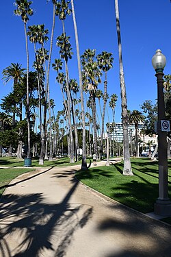
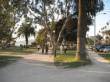
Palisades Park is a 26.4-acre (10.7 ha) park in Santa Monica, California. The park is located along a 1.6-mile (2.6 km) section of Ocean Avenue on top of an uplifted unconsolidated sedimentary coastal Quaternary terrace with exposed bluffs, offering views of both the Pacific Ocean and the coastal mountains.