Panthapath
পান্থপথ | |
|---|---|
Road | |
 Skyline of Panthapath | |
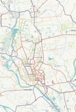
 Expandable map of vicinity of Panthapath | |
| Coordinates: 23°45′07″N 90°23′08″E / 23.7519°N 90.3855°E | |
| Country | |
| Division | Dhaka Division |
| District | Dhaka District |
| Elevation | 23 m (75 ft) |
| Time zone | UTC+6 (BST) |
Pantapath is an important east west road in Karwan Bazar area of Dhaka city, the capital of Bangladesh.[2][3][4][5][6][7] It connects Tongi Diversion road, Mymenshing Road (now Old Airport Road) and Mirpur Road.
- ^ "Geographic coordinates of Dhaka, Bangladesh". DATEANDTIME.INFO. Retrieved 7 July 2016.
- ^ "Escaped buffalo takes a stroll in capital". Dhaka Tribune. Retrieved 2016-03-31.
- ^ "Kutumbari opens outlet at Panthapath". The Daily Star. Retrieved 2016-03-31.
- ^ "Mosque and state". Dhaka Tribune. Retrieved 2016-03-31.
- ^ "Panthapath out of danger, opens to traffic". The Daily Star. Retrieved 2016-03-31.
- ^ "Panthapath's Mohona Hospital shut". bdnews24.com. Retrieved 2016-03-31.
- ^ "Moghbazar flyover gets costlier by Tk 446.20cr". The Daily Star. Retrieved 2016-03-31.


