| Parco degli Acquedotti | |
|---|---|
 Aqua Claudia | |
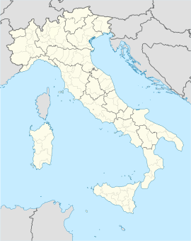
 Click on the map for a fullscreen view | |
| Location | Rome, Italy |
| Coordinates | 41°50′49″N 12°33′43″E / 41.847°N 12.562°E |
| Area | 240 ha (593.05 acres) |
| Authorized | 1988[1] upright |
The Parco degli Acquedotti is a public park to the southeast of Rome, Italy. It is part of the Appian Way Regional Park and is of approximately 240 ha.
- ^ Sozio, Paola (2006–2007). Il Parco degli Acquedotti (PDF) (in Italian). p. 13. Archived from the original (PDF) on 1 November 2013. Retrieved 9 March 2018.
