Patterson Heights | |
|---|---|
Neighbourhood | |
 Olympic Village in Patterson overlooking Sarcee Trail | |
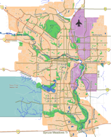
Location of Patterson in Calgary | |
| Coordinates: 51°03′48″N 114°10′28″W / 51.06333°N 114.17444°W | |
| Country | |
| Province | |
| City | |
| Quadrant | SW |
| Ward | 6 |
| Established | 1983 |
| Annexed | 1956 |
| Government | |
| • Mayor | Jyoti Gondek |
| • Administrative body | Calgary City Council |
| • Councillor | Richard Pootmans |
| Elevation | 1,205 m (3,953 ft) |
| Population (2006)[2] | |
| • Total | 4,141 |
| • Average Income | $78,786 |
| Postal code | |
| Website | Patterson Community Association |
| Coach Hill Patterson Heights Community Association www.chph.ca. And on Facebook CHPHcommunity.com | |
Patterson Heights is a residential neighbourhood in the southwest quadrant of Calgary, Alberta. It is bounded by Sarcee Trail to the east and north, Bow Trail to the south, 69 Street to the west and Old Banff Coach Road to the south. Edworthy Park, developed in the Bow River valley, borders the community to the north and east across Sarcee Trail.
It is represented in the Calgary City Council by the Ward 6 councillor.[1]
- ^ a b "Calgary Elections". City of Calgary. 2017. Retrieved November 12, 2017.
- ^ Cite error: The named reference
citywas invoked but never defined (see the help page).
