This article needs additional citations for verification. (January 2021) |
| Geography | |
|---|---|
| Location | South East Asia |
| Coordinates | 1°24′S 123°10′E / 1.400°S 123.167°E |
| Area | 2,488.79 km2 (960.93 sq mi) |
| Highest elevation | 1,100 m (3600 ft) |
| Highest point | Unnamed |
| Administration | |
| Province | |
| Demographics | |
| Population | 123,580 (mid 2022 estimate[1]) |
| Pop. density | 49.65/km2 (128.59/sq mi) |

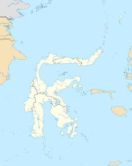
Peleng is an island off the east coast of Sulawesi, Indonesia and is the largest island of the Banggai Islands (Kepulauan Banggai). It is surrounded by the Banda Sea and Molucca Sea and has an area of 2,488.79 km2 (including offshore islands).
Peleng Island comprises the Banggai Islands Regency (within Central Sulawesi Province), which also includes some 440 small islands around the coast of Peleng, of which the largest are Bangkalan and Bakamanpauno Islands off the north coast of Peleng. Some of the smaller islands to the south of Peleng which were formerly part of the Banggai Islands Regency were removed in 2013 to form a separate Banggai Laut Regency; these comprise Banggai Island itself, Bowokan, Labobo, Kebongan, Kotudan, Tropettenando, Timpau, Salue Besar, Salue Kecil, Masepe, and Bangkulu.
- ^ Badan Pusat Statistik, Jakarta, 2023.
