Pelham | |
|---|---|
| Town of Pelham | |
 | |
| Coordinates: 43°02′N 79°20′W / 43.033°N 79.333°W | |
| Country | |
| Province | |
| Region | Niagara |
| Formed | 1970 |
| Government | |
| • Mayor | Marvin Junkin |
| • Federal riding | Niagara West |
| • Prov. riding | Niagara West |
| Area | |
| • Land | 126.43 km2 (48.81 sq mi) |
| Population (2016)[1] | |
| • Total | 17,110 |
| • Density | 135.3/km2 (350/sq mi) |
| Time zone | UTC-5 (EST) |
| • Summer (DST) | UTC-4 (EDT) |
| Postal Code | L0S |
| Area code(s) | 905, 289, 365 |
| Website | www.pelham.ca |


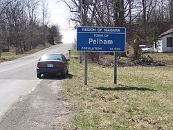
Pelham (2016 population 17,110) is a town located in the centre of Niagara Region in Ontario, Canada.
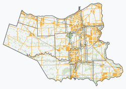
The town's southern boundary is formed by the Welland River, a meandering waterway that flows into the Niagara River. To the west is the township of West Lincoln, to the east the city of Welland and the city of Thorold, and to the north the city of St. Catharines and the town of Lincoln. North Pelham contains the picturesque Short Hills (see attractions). Two important creeks have their headwaters within Pelham; Coyle Creek, which flows south into the Welland River, and Twelve Mile creek, a spring-fed stream that flows north into Lake Ontario.

