| Piti Bomb Holes Marine Preserve | |
|---|---|
 Fish at Piti Bomb Holes Marine Preserve, 2012 | |
| Location | Piti Bay |
| Nearest city | Piti, Guam |
| Coordinates | 13°28′13″N 144°42′04″E / 13.4702°N 144.7012°E |
| Area | 3.64 km2 (900 acres) |
| Established | 1999 |
| Governing body | Guam Department of Agriculture |
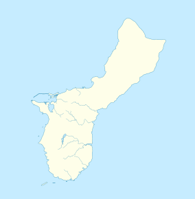
Piti Bomb Holes Marine Preserve is a marine protected area comprising all of Piti Bay on the western coast of Guam, located off of the village of Piti in the Philippine Sea. The defining "bomb hole" features, named because they look like bomb craters in the reef flat, are actually natural percolation pits where fresh water filters into the shallow lagoon at a depth of 25 to 30 feet (7.6 to 9.1 m). The largest pit houses the commercial Fish Eye Marine Park tourist attraction, which includes a wooden pier to a underwater observatory and a Seawalker tour of the lagoon bottom. It is visited by more than 200,000 people annually. The Piti preserve is the most ecologically diverse of Guam's five marine preserves. The pit around Fish Eye is a popular snorkeling and recreational diving site.


