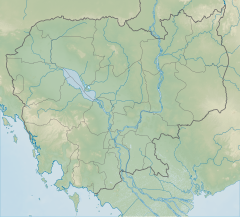
| Preah Monivong Bokor National Park | |
|---|---|
| Bokor National Park | |
 On Phnom Bokor | |
| Location | Kampot Province, Cambodia |
| Nearest city | Kampot |
| Coordinates | 10°51′43″N 104°01′56″E / 10.86204693°N 104.03222455°E |
| Area | 1,544.58 km2 (596.37 sq mi)[1] |
| Established | 1993[1] |
| Governing body | Ministry of Environment |
| Website | https://kampot.city/bokor_national_park |
Preah Monivong Bokor National Park (Khmer: ឧទ្យានជាតិព្រះមុនីវង្ស បូកគោ, pronounced [ʔuʒiən ciət prĕəh muniːvuŋ]) is a national park in southern Cambodia's Kampot Province that was established in 1993 and covers 1,544.58 km2 (596.37 sq mi).[1] In 2003, it was designated as an ASEAN Heritage Park.[2] It is located in the Dâmrei Mountains, forming the southeastern parts of the Cardamom Mountains. Most of the park is about 1,000 metres above sea level and the highest peak is Phnom Bokor at 1,081 metres, also referred to as Bokor Mountain.
- ^ a b c d "Preah Monivong "Bokor"". World Database on Protected Areas. Protected Planet. 2023. Retrieved 26 December 2018.
- ^ "ASEAN Heritage Parks". ASEAN. Retrieved 28 August 2023.
