| Priest's Grotto | |
|---|---|
 Priest's Grotto | |
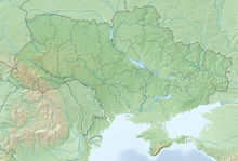
| Location | near Strilkivtsi, Chortkiv Raion, Ternopil Oblast, Ukraine |
| Coordinates | 48°45′52″N 25°57′57″E / 48.7644°N 25.96581°E |
| Depth | 35 m (115 ft) |
| Length | 140.49 km (87.30 mi) |
| Discovery | 1940 |
| Geology | gypsum |
| Entrances | 1 |
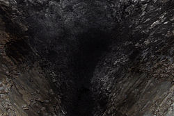
Priest's Grotto (Ukrainian: Озерна, lit. 'lake') also known as Ozerna or Blue Lakes Cave, is a cave in western Ukraine near the village of Strilkivtsi, Chortkiv Raion, Ternopil Oblast (Province).
Priest's Grotto is part of the extensive gypsum giant cave system, and is one of the longest caves in the world with over 140.49 kilometres (87.30 mi) (2017) of explored passages. It is about 450 kilometers (280 mi) driving distance southwest of Kyiv, and about 5.5 kilometers (3.4 mi) south of Borshchiv. In World War II it was used as a refuge by Jewish refugees from the Nazi occupation during the Holocaust. It is the 16th longest cave system in the world.

