It has been suggested that Purog Kangri Glacier be merged into this article. (Discuss) Proposed since November 2024. |
| Purugangri | |
| Coordinates | 33°55′28.92″N 89°14′58.20″E / 33.9247000°N 89.2495000°E |
|---|---|
| Area | 423 square kilometres (163 sq mi) |
| Highest elevation | 6,072 metres (19,921 ft) |
| Lowest elevation | 5,620 metres (18,440 ft) |
 | |
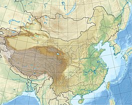
Purog Kangri (Tibetan: བུ་རོགས་གངས་རི, Wylie: bu rogs gangs ri) is an ice field in the Tibetan Plateau, in Nagqu, China. It is shrinking rapidly.

