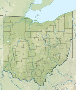
| Pymatuning Reservoir | |
|---|---|
 Pymatuning Reservoir, seen from the Spillway, Linesville, PA | |
| Location | Crawford County, Pennsylvania / Ashtabula County, Ohio, US |
| Coordinates | 41°29′54″N 80°27′41″W / 41.49833°N 80.46139°W[1] |
| Type | Reservoir |
| Primary inflows | Shenango River |
| Primary outflows | Shenango River |
| Basin countries | United States |
| Max. length | 17 mi (27 km) [citation needed] |
| Max. width | 1.6 mi (2.6 km) [citation needed] |
| Surface area | 17,088 acres (6,915 ha) [citation needed] |
| Average depth | 15 ft (4.6 m) [citation needed] |
| Max. depth | 35 ft (11 m) [citation needed] |
| Water volume | 64,300,000,000 imp gal (0.292 km3) [citation needed] |
| Shore length1 | 70 mi (110 km) [citation needed] |
| Surface elevation | 1,001 ft (305 m)[1] |
| Islands | Ackerman, Clark, Ford, Glenn, Harris, Stockers, Whaley [citation needed] |
| References | [1] |
| 1 Shore length is not a well-defined measure. | |
Pymatuning Reservoir is a man-made lake in Crawford County, Pennsylvania and Ashtabula County, Ohio in the United States, on land that was once a very large swamp.[2] Much of it is incorporated into two state parks: Pymatuning State Park in Pennsylvania, and Pymatuning State Park in Ohio.[1]

