| Quinebaug Lake State Park | |||||||||||||||||||||||||||||||||
|---|---|---|---|---|---|---|---|---|---|---|---|---|---|---|---|---|---|---|---|---|---|---|---|---|---|---|---|---|---|---|---|---|---|
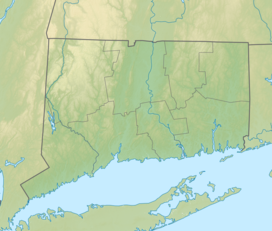
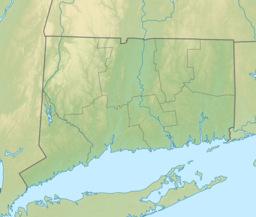
| Location | Killingly, Connecticut, United States | ||||||||||||||||||||||||||||||||
| Coordinates | 41°46′28″N 71°53′16″W / 41.77444°N 71.88778°W[1] | ||||||||||||||||||||||||||||||||
| Area | 181 acres (73 ha)[2] | ||||||||||||||||||||||||||||||||
| Elevation | 197 ft (60 m)[1] | ||||||||||||||||||||||||||||||||
| Established | 1964 | ||||||||||||||||||||||||||||||||
| Administered by | Connecticut Department of Energy and Environmental Protection | ||||||||||||||||||||||||||||||||
| Designation | Connecticut state park | ||||||||||||||||||||||||||||||||
| Website | Official website | ||||||||||||||||||||||||||||||||
| |||||||||||||||||||||||||||||||||
Quinebaug Lake State Park is a public recreation area covering 181 acres (73 ha) in the town of Killingly, Connecticut. The state park offers opportunities for fishing and non-motorized boating on Wauregan Reservoir.[2][4] The park is managed by the Connecticut Department of Energy and Environmental Protection.
- ^ a b c "Quinebaug Pond". Geographic Names Information System. United States Geological Survey, United States Department of the Interior.
- ^ a b Cite error: The named reference
DEEPwas invoked but never defined (see the help page). - ^ a b c d e Cite error: The named reference
reportwas invoked but never defined (see the help page). - ^ Cite error: The named reference
killinglywas invoked but never defined (see the help page).


