Randolph County | |
|---|---|
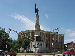
 Randolph County Courthouse | |
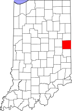
 Location within the U.S. state of Indiana | |
 Indiana's location within the U.S. | |
| Coordinates: 40°09′N 85°01′W / 40.15°N 85.01°W | |
| Country | |
| State | |
| Founded | 1818 |
| Named for | Peyton Randolph |
| Seat | Winchester |
| Largest city | Winchester |
| Area | |
• Total | 453.31 sq mi (1,174.1 km2) |
| • Land | 452.38 sq mi (1,171.7 km2) |
| • Water | 0.94 sq mi (2.4 km2) 0.21% |
| Population (2020) | |
• Total | 24,502 |
| • Density | 54/sq mi (21/km2) |
| Time zone | UTC−5 (Eastern) |
| • Summer (DST) | UTC−4 (EDT) |
| Congressional district | 6th |
| Website | www |
| Indiana county number 68 | |
Randolph County is a county located in the central section of U.S. state of Indiana, on its eastern border with Ohio. As of 2020, the population was 24,502.[1] The county seat is Winchester.[2]
- ^ "Randolph County, Indiana". United States Census Bureau. Retrieved June 7, 2023.
- ^ "Find a County". National Association of Counties. Retrieved June 7, 2011.
