Realengo | |
|---|---|
Neighborhood | |
 Praça de Padre Miguel (Father Michael Square) in Realengo. | |
| Coordinates: 22°52′51″S 43°26′15″W / 22.88083°S 43.43750°W | |
| Country | |
| State | Rio de Janeiro (RJ) |
| Municipality/City | Rio de Janeiro |
| Zone | West Zone |
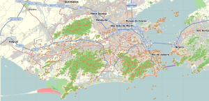
Realengo is a neighborhood in the West Zone of Rio de Janeiro, Brazil. The lower and middle-class neighborhood is between the Mendanha and Pedra Branca mountains.[1] It is located between the mountains of Pedra Branca (White Rock) and Mendanha in the northern of the called West Zone of the city, owned and named the XXXIII Administrative Region which encompasses the entire east around the neighborhood. Realengo usually has the highest temperatures in the city, even though the winter nights are often cold because of the proximity to the mountains. Created on November 20, 1815, every year on this day the city's birthday is celebrated with the Week of Realengo. Pedro I of Brazil and Pedro II of Brazil used to go to the farm of Santa Cruz (Saint Cross) by the Estrada Real de Santa Cruz (Royal Road of Santa Cruz), passing by Realengo, where they often stayed.
- ^ CNN Wire Staff. "Hero officer kept Brazilian school massacre from being even worse." CNN. April 7, 2011. Retrieved on April 9, 2011.

