| Red Pike | |
|---|---|
 Red Pike from Bleaberry Tarn | |
| Highest point | |
| Elevation | 755 m (2,477 ft) |
| Prominence | c. 40 m |
| Listing | Wainwright, Nuttall, Hewitt |
| Coordinates | 54°31′34″N 3°18′00″W / 54.526°N 3.3°W |
| Geography | |
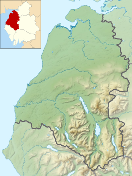
Location in the Lake District National Park | |
| Location | Cumbria, England |
| Parent range | Lake District, Western Fells |
| OS grid | NY160154 |
| Topo map | OS Landranger 89, Explorer OL4 |
| Name | Grid ref | Height | Status |
|---|---|---|---|
| Dodd | NY163157 | 641 m (2,102 ft) | Nuttall |
Red Pike is a fell in the High Stile range in the western English Lake District, which separates Ennerdale from the valley of Buttermere and Crummock Water. It is 2,476 ft (755 m) high. The direct ascent of Red Pike from Buttermere is very popular and the ridge walk from Red Pike to Haystacks is regarded as one of the finest in the area, with excellent views of the Scafells, Great Gable and Pillar.
The fell can be confused with Red Pike (Wasdale), which is only three miles (five kilometres) away but cannot be seen from the summit. Alfred Wainwright in his guidebook The Western Fells comments that the Wasdale Red Pike might be higher but is less suited to the name. Red Pike in Buttermere is given its rich red colouring by the presence of syenite in the rock and subsoil of the fell. This is particularly marked in places where surface erosion has occurred (notably the stony track by the side of Scale Force and the path from Bleaberry Tarn to the summit) and the red colouring of the paths can be seen from some distance.


