| Rheine-Hopsten Air Base Advanced Landing Ground (ALG) B-112 | |
|---|---|
| Coordinates | 52°20′19″N 007°32′29″E / 52.33861°N 7.54139°E |
| Type | Military Airfield |
| Site information | |
| Controlled by | |
| Site history | |
| In use | 1940-2005 |
| Battles/wars | World War II |
| Garrison information | |
| Occupants | German Air Force (FRG), 1959-2005 |
Airfield information | |||||||||||
|---|---|---|---|---|---|---|---|---|---|---|---|
| Summary | |||||||||||
| Elevation AMSL | 128 ft / 39 m | ||||||||||
| Coordinates | 52°20′19″N 007°32′29″E / 52.33861°N 7.54139°E | ||||||||||
| Map | |||||||||||
 | |||||||||||
| Runways | |||||||||||
| |||||||||||
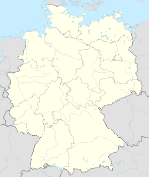
Rheine-Hopsten Air Base is a former German Air Force military airfield, located 9.3 km north east of Rheine in Westphalia, Germany. The runway was closed in 2005 with the retirement of the F-4F Phantom II aircraft.

