| Rita Blanca National Grassland | |
|---|---|
 | |
| Location | Dallam County, Texas and Cimarron County, Oklahoma, United States |
| Nearest city | Dalhart, Texas |
| Coordinates | 36°26′02″N 102°36′00″W / 36.434°N 102.6°W[1] |
| Area | 92,989 acres (376.31 km2)[2] |
| Governing body | U.S. Forest Service |
| Website | Kiowa and Rita Blanca National Grasslands |
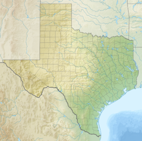
Rita Blanca National Grassland is a National Grassland on the Great Plains near the community of Texline in northwest Dallam County, Texas, in the Texas Panhandle, and in southern Cimarron County, Oklahoma, in the western Oklahoma Panhandle. The principal city in the area is Dalhart, Texas, which houses the XIT Museum.
The name Rita Blanca (Little White River) was applied to a stream by Spanish sheepherders in the 19th century. It was later used by the XIT ranch and has been applied to other geographic features in the vicinity.[3]
- ^ "Rita Blanca National Grassland". Geographic Names Information System. United States Geological Survey, United States Department of the Interior. Retrieved December 9, 2012.
- ^ "Land Areas of the National Forest System". U.S. Forest Service. January 2013. Retrieved December 9, 2012.
- ^ "Lake Rita Blanca". Wildernet Accessed November 25, 2016.


