This article needs additional citations for verification. (December 2009) |
| Ise | |
|---|---|
 The River Ise at Burton Latimer, Northamptonshire. | |
| Location | |
| Sovereign State | United Kingdom |
| Country | England |
| County | Northamptonshire |
| Towns | Desborough, Kettering, Burton Latimer, Wellingborough |
| Physical characteristics | |
| Source | |
| • location | Naseby Battlefield |
| • coordinates | 52°24′32″N 0°59′33″W / 52.408895°N 0.992409°W |
| • elevation | 167 m (548 ft) |
| Mouth | River Nene |
• location | Wellingborough |
• coordinates | 52°17′42″N 0°39′59″W / 52.29500°N 0.66639°W |
• elevation | 40 m (130 ft) |
| Basin size | 237 km2 (92 sq mi) |
| Basin features | |
| River system | River Nene |
| Tributaries | |
| • right | Slade Brook, Pytchley Brook, Hardwick Brook, Harrowden Brook, Swanspool Brook |
The River Ise is a river in Northamptonshire, England and a tributary of the River Nene.
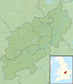
The river rises in a field that was part of the site of the Battle of Naseby in north-western Northamptonshire. The parish of Naseby lies across a watershed from which streams also flow to the rivers Avon and Nene. It flows east past Desborough and the Eleanor cross at Geddington, then through the grounds of Rushton Hall,[1] before turning south and passing through the parkland of Boughton House where it was extensively canalised and landscaped in the late 17th century.[2] It then flows between Kettering and Barton Seagrave where its valley was excavated during the creation of Wicksteed Park to provide a large lake for public amenity use.[3] It finishes its journey by flowing past Burton Latimer and Finedon, joining the Nene just south of Wellingborough.
