| River Pinn | |
|---|---|
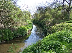
 River Pinn at Ickenham | |
| Location | |
| Country | England |
| Region | Greater London |
| Physical characteristics | |
| Source | |
| • location | 51°37′12.5″N 0°20′54.1″W / 51.620139°N 0.348361°W |
| • elevation | Roughly 120 m (390 ft) |
| Mouth | |
• location | 51°30′52″N 0°28′48″W / 51.51444°N 0.48000°W |
• elevation | 31 m (102 ft) |
| Basin features | |
| Progression | Pinn → Colne → Thames |
The Pinn is a suburban, outer west London river. It has dendritic headwaters, the furthest is considered its source – in Harrow Weald. Its confluence with Frays River makes it a tributary of the Colne. It is one of three principal rivers wholly in the historic county of Middlesex.[a]
Cite error: There are <ref group=lower-alpha> tags or {{efn}} templates on this page, but the references will not show without a {{reflist|group=lower-alpha}} template or {{notelist}} template (see the help page).

