Rostraver Airport | |||||||||||
|---|---|---|---|---|---|---|---|---|---|---|---|
| Summary | |||||||||||
| Airport type | Public | ||||||||||
| Owner | Westmoreland County Airport Authority | ||||||||||
| Serves | Monongahela, Pennsylvania | ||||||||||
| Location | Rostraver Township, Pennsylvania | ||||||||||
| Elevation AMSL | 1,228 ft / 374 m | ||||||||||
| Coordinates | 40°12′35″N 079°49′53″W / 40.20972°N 79.83139°W | ||||||||||
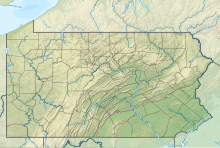
| Map | |||||||||||
 | |||||||||||
| Runways | |||||||||||
| |||||||||||
| Statistics (2021) | |||||||||||
| |||||||||||
Rostraver Airport (ICAO: KFWQ, FAA LID: FWQ, formerly P53) is a public use airport in Westmoreland County, Pennsylvania, United States.[1]
- ^ a b FAA Airport Form 5010 for FWQ PDF, effective 2023-09-07.

