| Saba National Marine Park | |
|---|---|
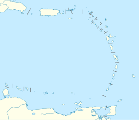
Location in the Caribbean
Map of the middle Leeward Islands | |
| Location | Saba, Leeward Islands, Caribbean Sea |
| Coordinates | 17°38′06″N 63°15′00″W / 17.635°N 63.2499°W[1] |
| Area | 5 sq mi (13 km2) |
| Established | 1987 |
The Saba National Marine Park encompasses the waters and sea bed encircling the Caribbean island of Saba, Caribbean Netherlands, from the high water mark to 200 feet (61 m) deep.[2] In total, the marine park covers approximately 5 square miles (13 km2).[2] At the time of its creation in 1987, the government passed the Marine Environment Ordinance to protect the coral reefs and other marine life within the park.[2][3][4] The Saba Conservation Foundation manages the Saba National Marine Park,[5] as well as the island's hyperbaric facility,[6][7] and natural sites on land (e.g., the Saba Trail network).[2][8][5]
- ^ "Saba National Marine Park". protectedplanet.net.
- ^ a b c d "Saba Marine Park". www.sabapark.org. Saba Conservation Foundation. Retrieved 2024-01-28.
- ^ "SABA MARINE ENVIRONMENT ORDINANCE: AB 1987, No. 10" (PDF). THE ISLAND COUNCIL OF THE ISLAND TERRITORY OF SABA. June 25, 1987.
- ^ "STATUS OF PROTECTED AREA SYSTEMS IN THE WIDER CARIBBEAN REGION" (PDF). www.unep.org (CEP Technical Report: 36 ed.). United Nations Environment Programme and Caribbean Environment Programme. 1996.
- ^ a b "Saba Conservation Foundation - Preserving Saba's natural and cultural heritage". www.sabapark.org. Retrieved 2024-01-28.
- ^ "Elevating the Standard of Care". Divers Alert Network. Retrieved 2024-01-28.
- ^ "Fort Bay Harbor: Facilities". fort-bay-saba. Retrieved 2024-01-28.
- ^ "Learn about Saba's Nature". Saba News. 2015-09-24. Retrieved 2024-01-28.

